New Tools bring modernization to the avalanche service
In cooperation with our customers (ski resorts, municipalities, railways and roads), we have advanced the development of new software tools for avalanche service practitioners in recent years. In the winter season 22/23, both the presentation and the sequences in the WAC.3® Cockpit were optimized. These new developments allow a simple modernization of the avalanche service.
Cockpit 2.0 - Innovations
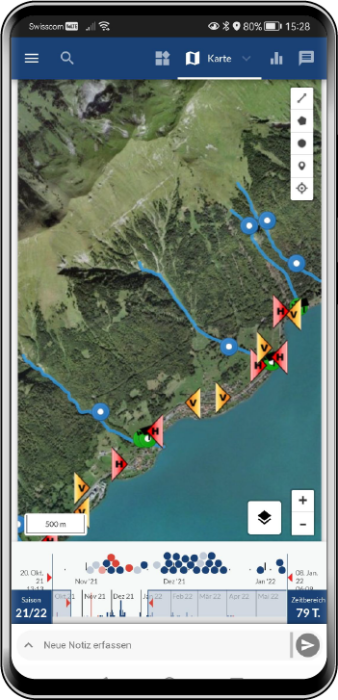
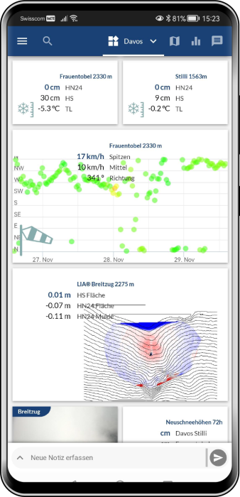
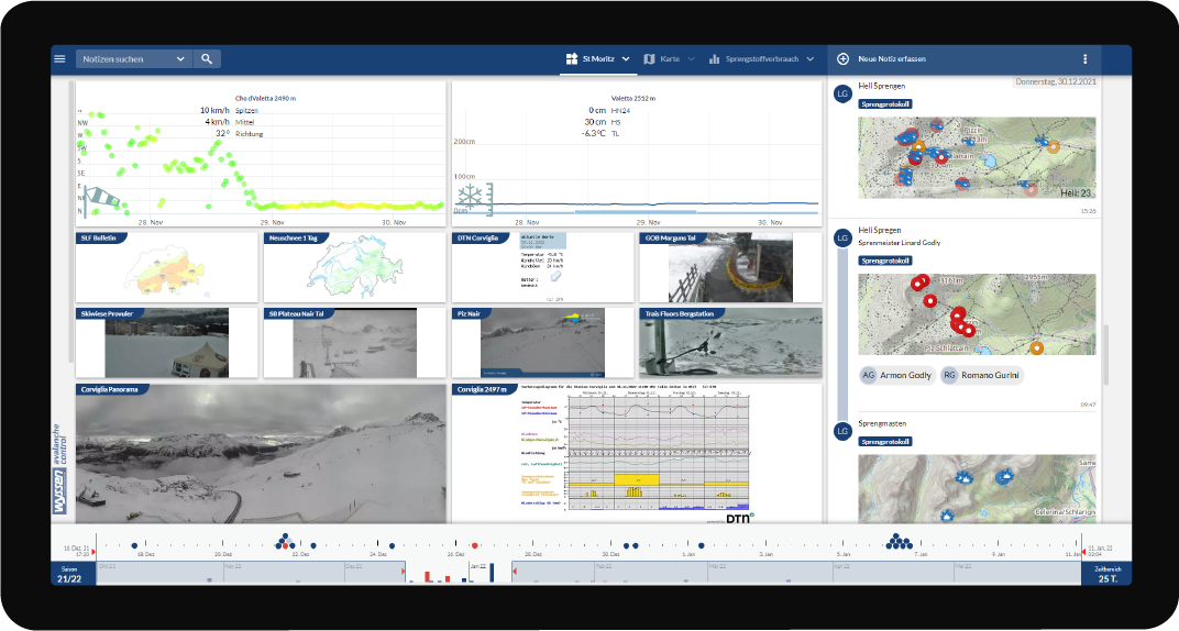
Based on the input of our customers and the experience of recent years, various components have been brought up to date with the latest technology. This allows for an updated presentation and new functions for the 2022/23 season as well as future innovations.
- more room for information and intuitive navigation
- tidy communication and fast data entry
- smart map view with new base maps
- Integration of additional external data sources
- optimized operation on mobile devices
- other new functions: Save your own location, timeline of all events and much more.
You can find more information about the cockpit and the modules here:
The view of the new cockpit 2.0:
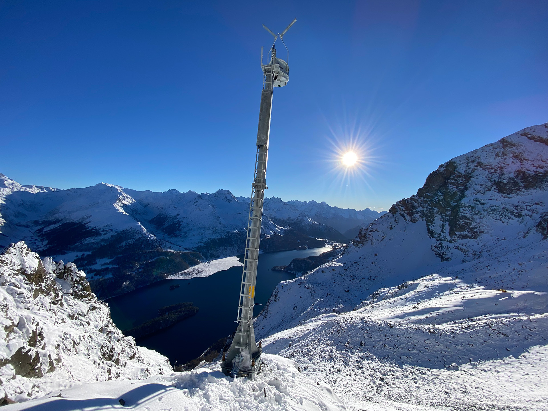
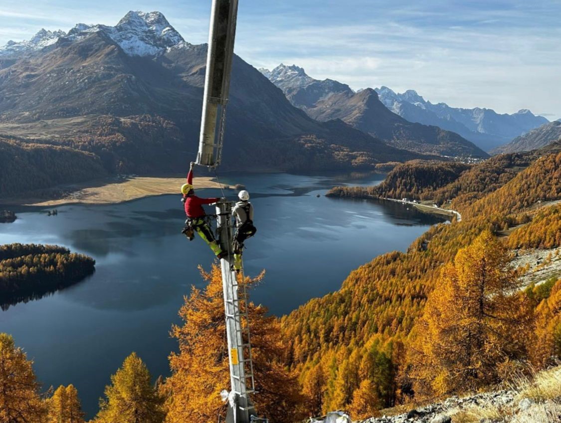
Project Sils in Engadin
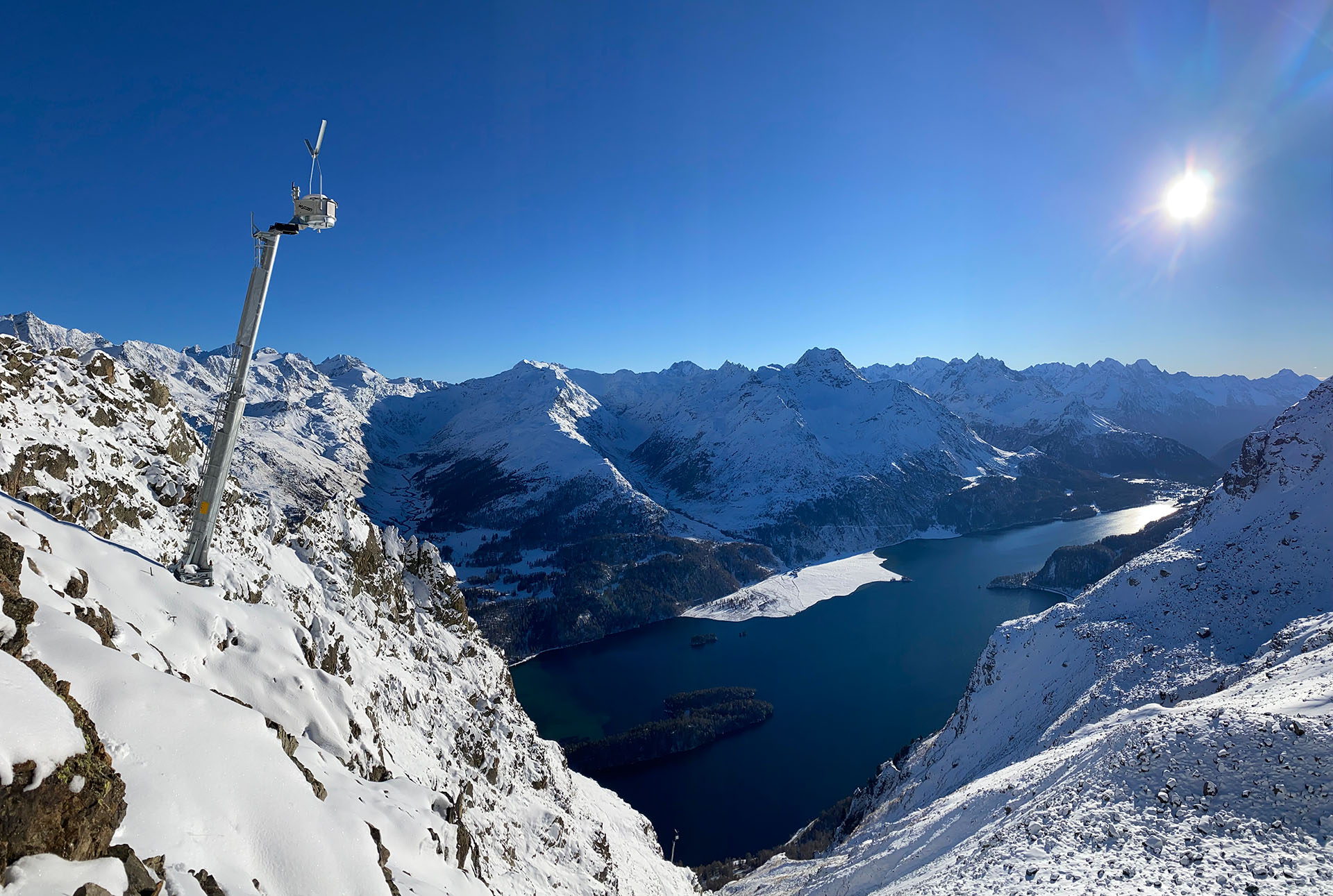
A current example of the integration of various data sources is the Sils project in the Engadin. Weather data, snow depth laser scans in the break-in area, cameras and much more flow together in the WAC.3® Cockpit. This provides the local avalanche service with an optimal basis for deciding when the six newly installed avalanche towers will be triggered in order to actively control the avalanche hazard and thus reduce the road closure times to a minimum.
More information and background information can be found in the report “Measures to increase the road safety of the Maloja road between Sils-Föglias and Plaun da Lej” from the canton of Graubünden:
