Avalanche Detection Network at Rogers Pass
Facts
| Project: | Avalanche Detection Network at Rogers Pass |
|---|---|
| Place: | Glacier National Park, British Columbia (BC) |
| Country: | Canada |
| Year: | 2018-2021 |
| Customer: | Parks Canada |
| Protected Objects: | Trans Canada Highway #1 |
| Installed systems: | - 13x IDA® Infrasound Detection systems - 4x LARA® Long Range Avalanche Radar - WAC.3® |
Initial Situation
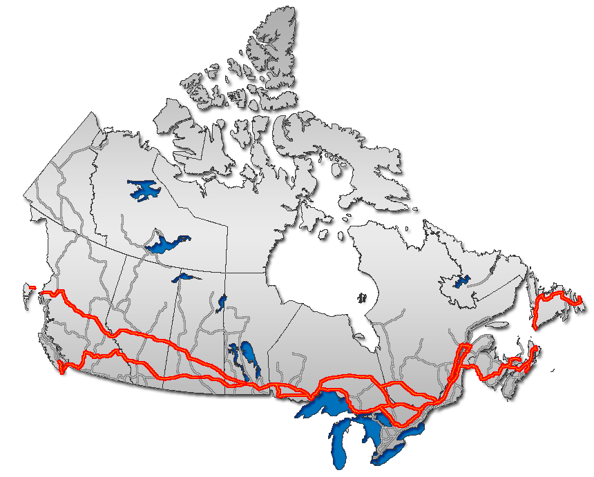
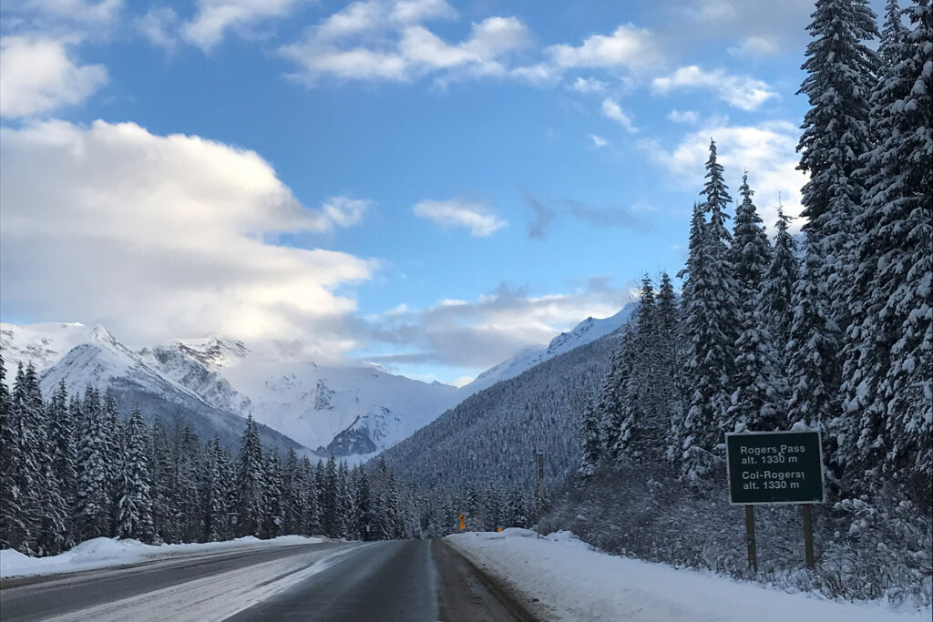
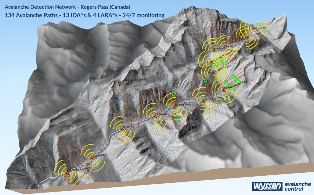
The Trans-Canada Highway is a critical transportation corridor within British Columbia and a vital link in Canada’s national highway network. 134 avalanche paths endanger the Trans-Canada Highway and railway throughout the park. The operational efficiency of this section of highway in Glacier National Park (GNP) in the winter months relies heavily on effective avalanche control using both passive and active mitigation strategies. In 2015, the Government of Canada launched the Trans-Canada Highway – Avalanche Mitigation Project for Glacier National Park. The objectives of this project are to reduce closures and improve winter road safety through numerous strategies including traffic storage expansion, snow shed rehabilitations, improved signage, and upgraded avalanche mitigation structures and systems. The Avalanche Detection Network ADN is realized within this framework project and is the worlds largest and a unique avalanche detection project.
Our solution
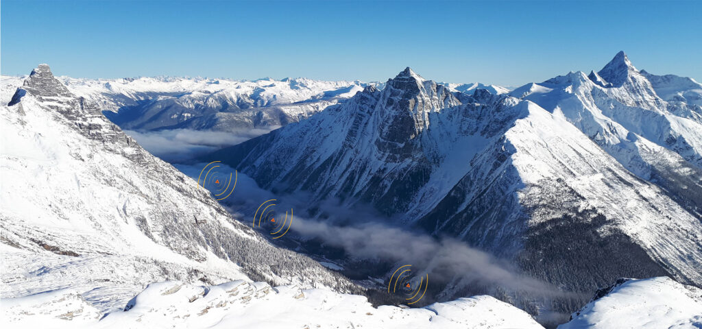
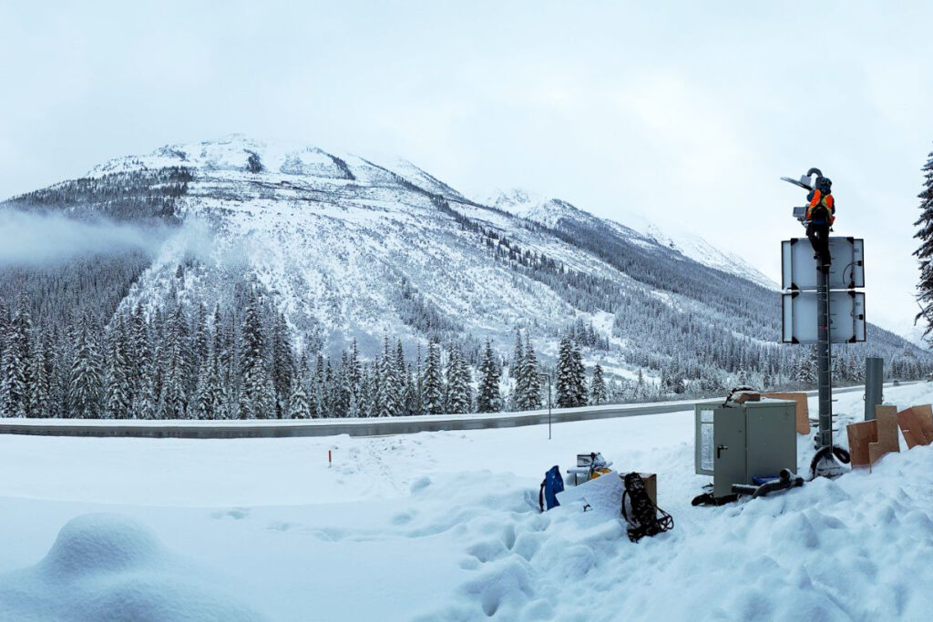
Infrasound detecion system arrays will cover the whole highway corridor through GNP. IDA® deliverd a complete picture of natural avalanche activity during every day and night time as well as confirmation of results of artificial avalanche control with artillery and other means to the forecasters. IDA® arrays are installed at the valley bottom and listen for infrasound waves produced by avalanches on all surrounding slopes.
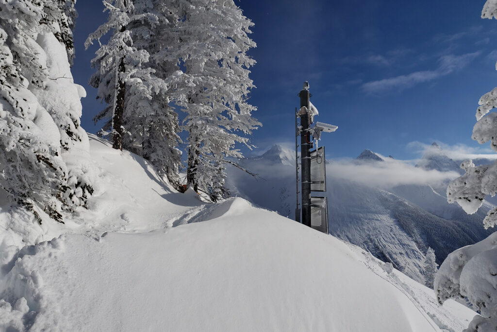
Long range avalanche radars deliver detailed information about slopes and paths which are of specific interest to the forecasters and used as indicator paths to determine the start of an avalanche cycle. LARA® is installed on the counter slope with a direct line of sight of the slope or path and monitors a pre-defined area. A high resolution camera is triggered to take pictures as soon as an event is detected by LARA® and provides additional visual information of the event.
The large amounts of data are processed automatically and displayed on a map in a simple and intuitive way. The web-based platform WAC.3® is comfortably accessible from any web-enabled device independent of the forecasters‘ location. An integrated alert system sends automatic emails and text messages to the forecasters with details of the detected avalanche event.
ADN at Rogers Pass
- 134 avalanche paths
- 13 IDA®‘s
- 4 LARA®‘s
- 24/7 monitoring
Future
A Project of:
Wyssen Canada Inc.
201-306 First Steet West P.O. Box 99 V0E 2S0 Revelstoke BC Canada Tel.: +1 250 814 3624 canada@wyssen.com www.wyssenavalanche.com
Lisa Dreier Tel. + 1 250 814 3624 lisa@wyssen.com


